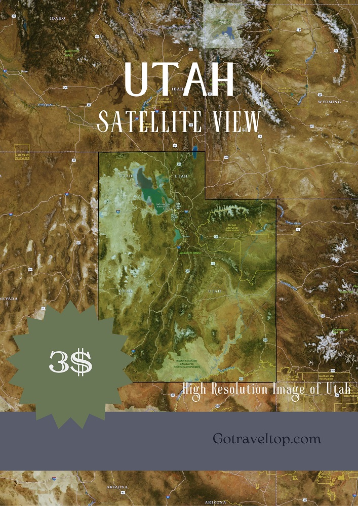
Map of Cedar Mountain Fire District in Utah
Satellite map of Cedar Mountain Fire District in Utah, with high resolution detail to see the names of the roads and their location.
Place: Cedar Mountain Fire District
State: Utah
County: 025
Latitude: 37.5221800
Longitude: -112.6443700
Satellite Map of Utah
The Satellite Map of Utah is an excellent tool for anyone looking to explore the state. This map provides a unique and detailed view of the state.