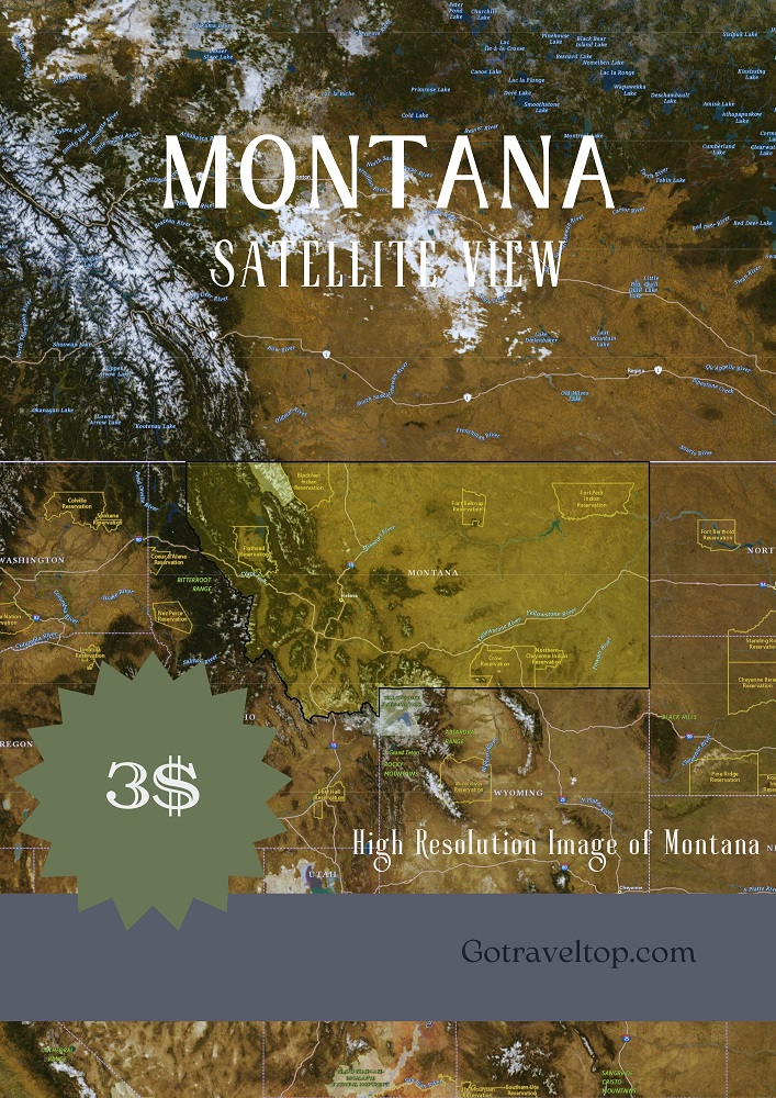
Map of West Charlie Creek in Montana
Satellite map of West Charlie Creek in Montana, with high resolution detail to see the names of the roads and their location.
Place: West Charlie Creek
State: Montana
County: 083
Latitude: 48.1053000
Longitude: -104.8633000
Satellite Map of Montana
The Satellite Map of Montana is an excellent tool for anyone looking to explore the state. This map provides a unique and detailed view of the state.